Hey all reading, Hope all is well with you folk, i’m messaging to ask without the national setting on what is the extent i.e the bounding box geo-coordinates wise for the TfL api. the lat and longs that are not served by the API.
I’d like to build something more national at some point many of the transport bodies outside of TfL don’t have much in regards to apis.
I think it really depends on what you’re trying to do. What type of app are you trying to build? What data do you need?
Our Unified API offers many different kinds of data. Is there something specific you’re looking for? For example, are you looking at our StopPoint data, or do you want to use our Journey Planner?
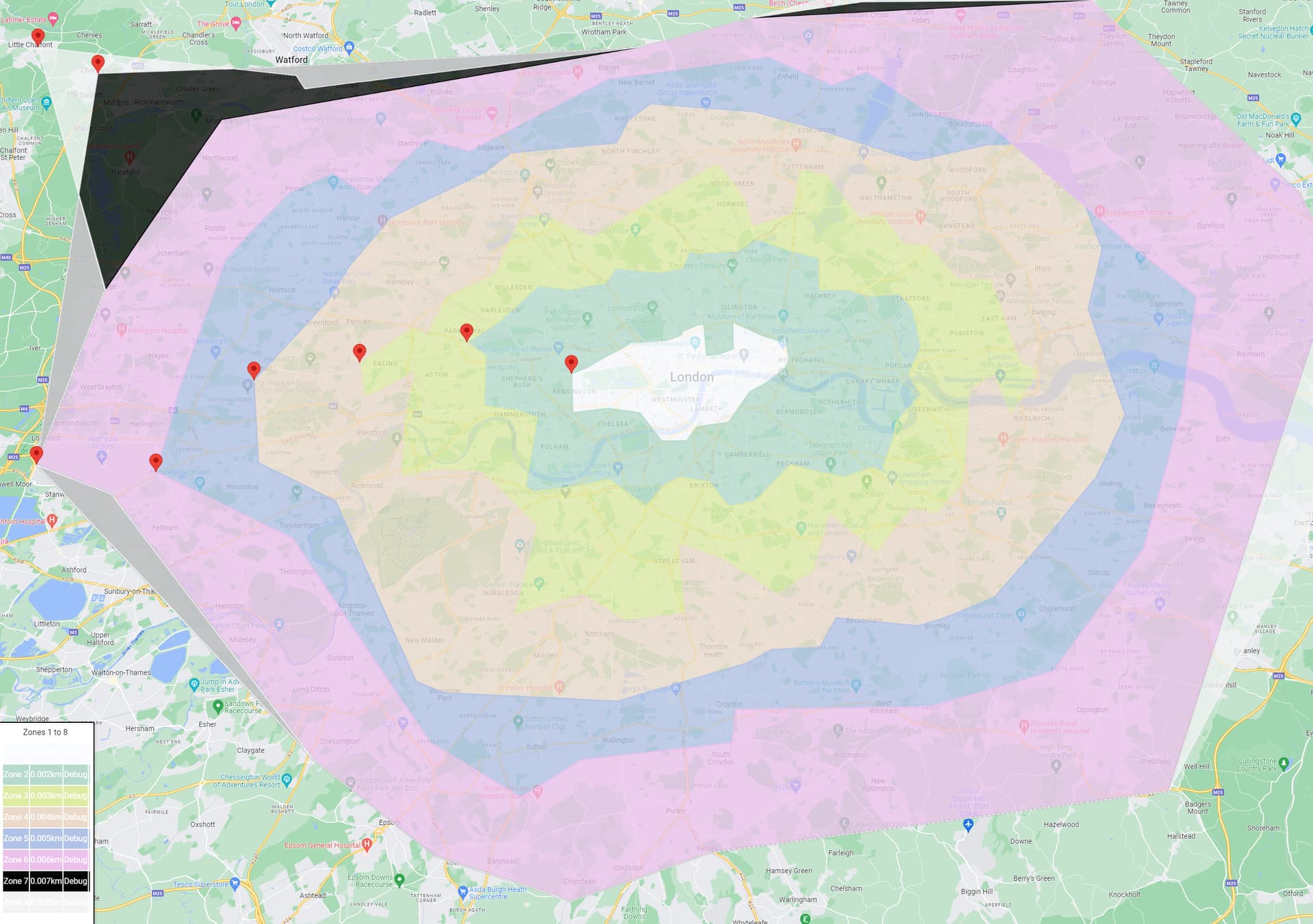
Broadly speaking, our StopPoint data is focused on stations, stops and piers where you can take TfL services, but also includes railway stations across Great Britain, as well as bus stops in Greater London, Slough, Buckinghamshire, Essex, Thurrock, Hertfordshire, Kent and Surrey.
Hodgepodge apps are often possible, though you may sometimes encounter issues when cross-referencing entities across different systems. You may wish to consider using national datasets such as NaPTAN.
Chesham has northing of 51.705 and easting of -0.611219
Chipstead has northing of 51.3093
Brentwood has an easting of 0.300154
TfL is owned by the Greater London Authority, but does run services that cross the boundary for the GLA area. So The travel zones <> GLA area <> London postcodes <> “inside the M25”